Skip to content

We Are
One

Geoscience, Technology & People

Earth, Water, Species and People are connected, and so is the way we work. Ocean Space is an African-born geoscience, human capital and systems development company delivering precision measurement, scientific intelligence, and operational excellence at the intersection of Earth, Water, Technology and People, to clients across Africa and the world.

50+

Years Combined Experience

10+

Countries & Regions

8+

Global Operators & Partners

4

Service Lines

Underwater view with sunlight filtering through ocean water

About Ocean Space

Where Science Meets
Nature

Ocean Space (Pty) Ltd is an African-born geoscience, human capital and systems development company operating at the intersection of Earth, Water, Technology and People. We deliver precision measurement, scientific intelligence, and operational excellence to clients across Africa and the world.

Our consortium brings together more than 50 years of collective experience supporting major energy operators, EPC contractors, and national governments, delivering full-cycle geomatic, geophysical and environmental QA/QC, precision measurement, systems design and validation from ultra-deep subsea to near-shore and terrestrial projects, where tolerances are measured in millimetres and the cost of measurement error or positional drift is measured in millions.

We Are One describes how we work as much as what we believe. Our work sits at the edge of human endeavour, which beyond the technical, speaks to maintaining and managing the ecosystems we build within. Precision measurement plays a crucial role in ensuring environmental continuity and balanced impact, the same discipline that holds a subsea structure to tolerance, or a slope to stability, is what lets us understand, and protect, the environment around it.

Here are our services:

Our Vision &
Commitment

Ocean Space vision

Our
Vision

To deliver globally the highest standards of scientific and operational excellence, while effecting positive, lasting change in the communities and environments we serve. We measure success the same way we measure everything, with precision and certainty.

We achieve this through:

  • Consistent Quality - the same rigour, on every project, regardless of scale
  • Sustained Value - insight built beyond the project, to the life of the asset
  • Dynamic Skills - a diversified workforce geared for novel solutions

Our
Commitment

We deliver scientific precision on every measurement, whatever the condition, scale or environment. At the edge of human endeavour, we balance environmental, ecological and human impact. We leave behind capability, not just deliverables, in the people our projects touch.

Jason Falken

“We are proud and excited to bring our decades of experience in geoscience, to support new and positive ways in human interaction with the environment. Ocean Space is our contribution to applied science in the quest for harmonious human endeavour that seeks to amplify symbiosis between the human built environment and nature. We are at your service.”
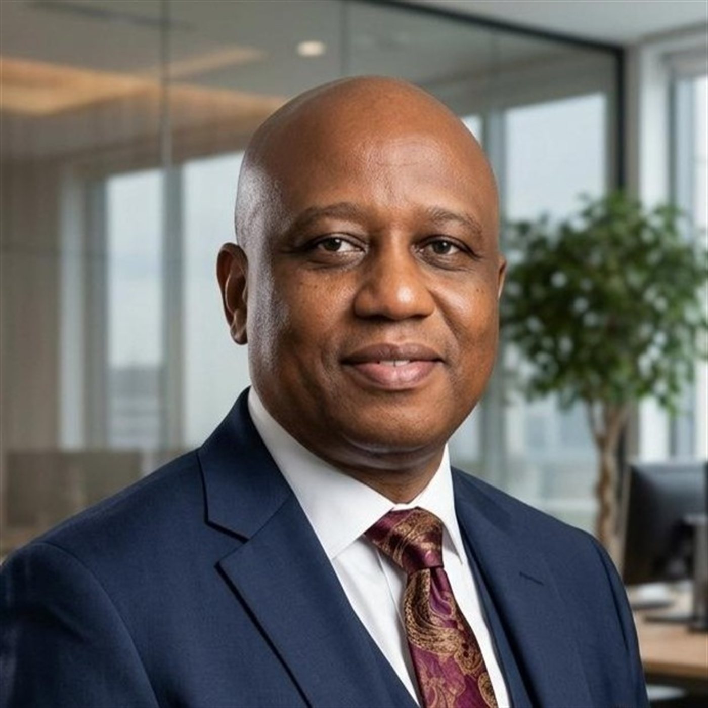
Founding Director: Jason Falken
Gorden Rambau

“We are building more than a geospatial entity - we are building a foundation for better decisions, safer operations, and a more sustainable future. From the depths of the ocean to the complexity of the land, we deliver geoscience intelligence where it matters most. Accurate data creates certainty, and certainty drives progress. We are mapping today to shape the future.”

Managing Director: Gorden Rambau

What We Do

Our Services

Full-suite solutions across project management, geoscience, remote advisory & analysis, and environmental services.

Project management coordination

Project Management & Advisory

We sit inside the project, not outside it, bringing capabilities few client teams possess in-house, shaped by decades of experience across the industry's most demanding operators and deployed on their behalf from mobilisation through to close-out.

Project Management & Advisory

  • Subject Matter Expert Advisory
  • End-Client QA/QC Representation
  • Contract Development & Technical Advisory
  • Geoscience Human Capital Deployment
  • Subsea Construction & Field Development Support
  • Scientific Systems Design & Development
Geoscience survey equipment

Geoscience Services

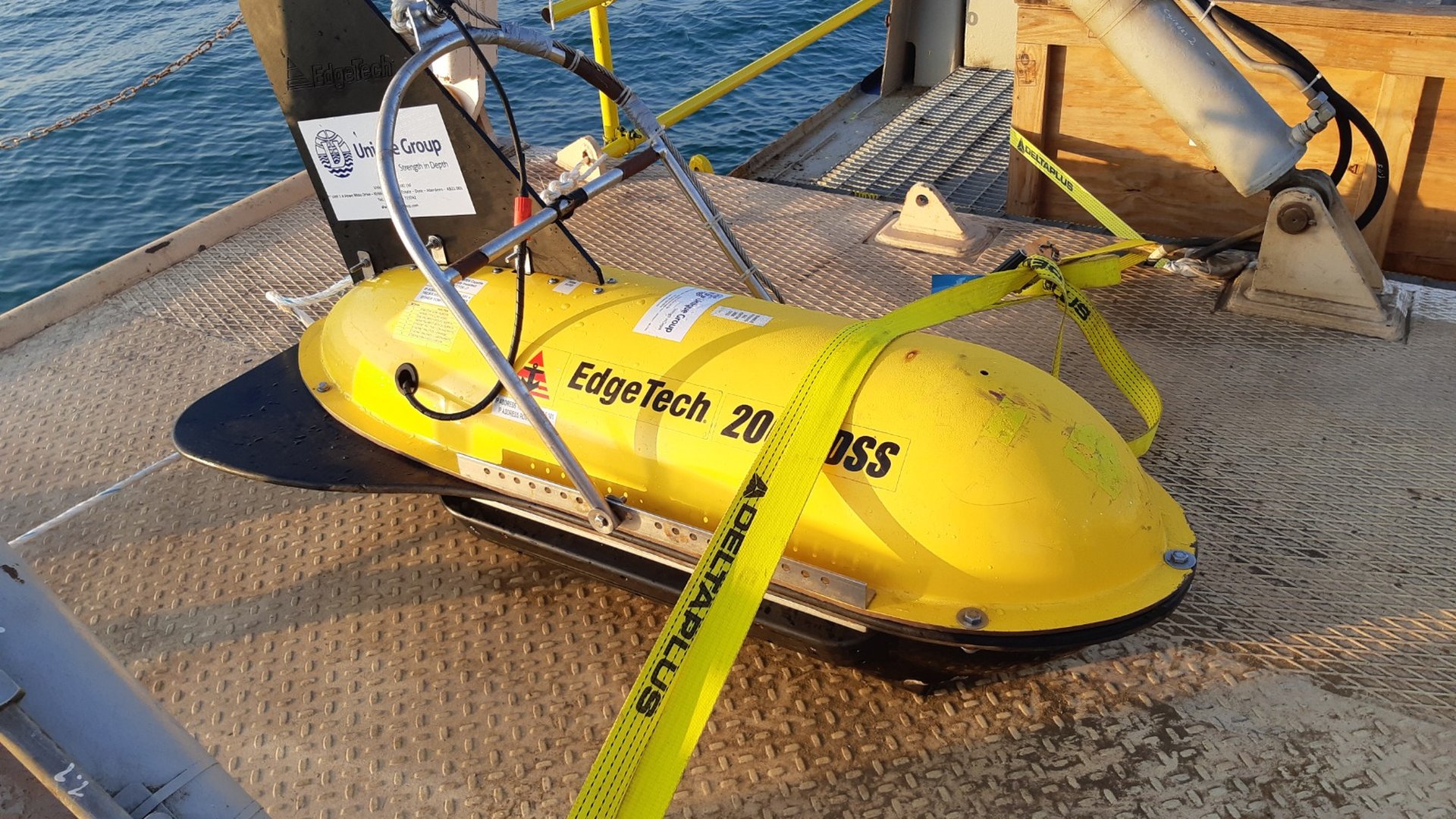
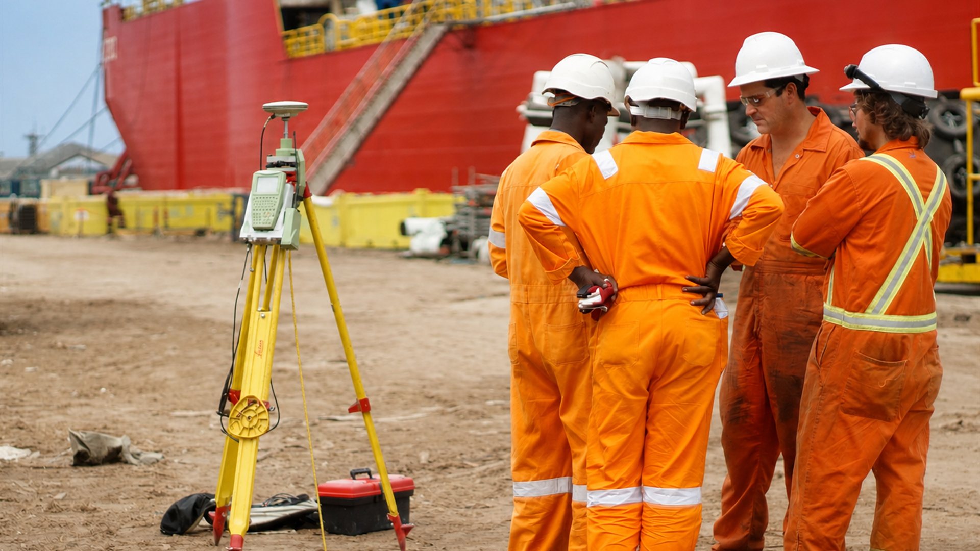
Our foundation is forged across challenging environments from ultra-deep subsea fields in West Africa, the Caspian and Caribbean to near-shore and terrestrial tie-in in Asia; from high-precision metrology campaigns, to subsea and terrestrial LiDAR, wideband acoustic positioning and high-resolution geophysics, we deliver to standards set by decades of proven field experience.

Geoscience Services

  • Geomatic Precision Measurement
  • Terrestrial & Hydrographic Surveying
  • Geophysical Data Acquisition, Analysis & Reporting
  • Subsea & Terrestrial SLAM, LiDAR & Photogrammetry
  • Static Digital Twin Development, Deployment & Maintenance
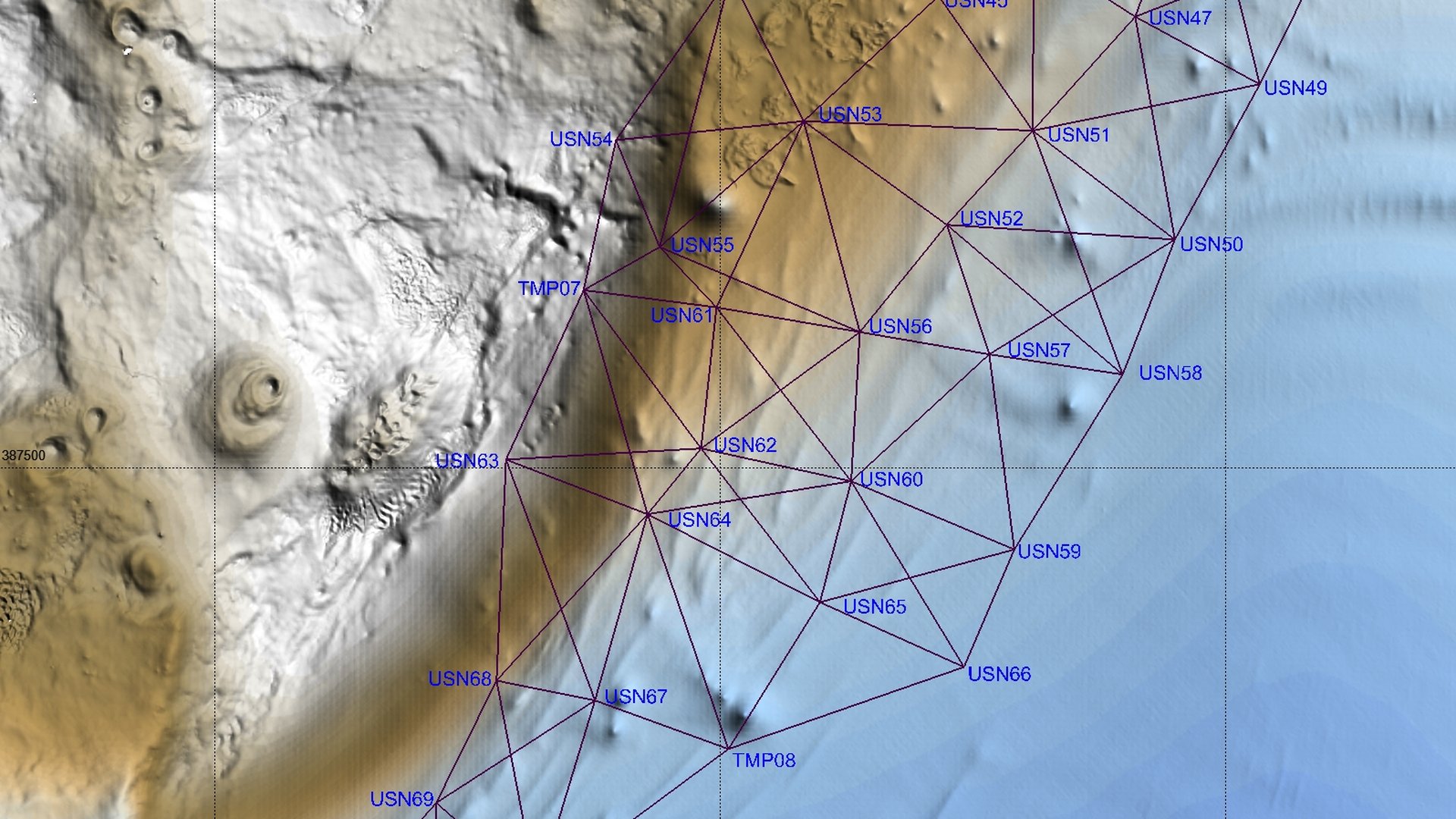
  • Acoustic & Laser Metrology & Dimensional Measurement
  • Sensor Calibration & System Validation
Remote technical operations

Remote Advisory, Analysis & Reporting

Results are only as good as their validation. Delivered remotely, the same rigour as on-site engagement, without the logistics overhead of a full deployment, we turn reports, standards, contract review, technical assessments and analysis around faster, at lower cost, in days, not weeks.

Remote Advisory, Analysis & Reporting

  • Project Reports Writing & Charting
  • Technical Reports, Procedures & Standards Development
  • Remote Data Analysis & Results Validation
  • Contract Review & Technical Assessment
Environmental monitoring

Environmental Services

We balance ecological, environmental and human impact through scientific principles, precision measurement and sound analysis. Our oceanographic, impact and structural integrity monitoring services provide the foundational data that lets engineering decisions account for the environment they're built within.

Environmental Services

  • Metocean & Oceanographic Intelligence
  • Structural Stability & Integrity Monitoring
  • Environmental Surveys & Impact Studies

Our Track Record

Case Studies

Multi-year engagements with major energy operators and EPC contractors across Africa, the Americas and beyond.

Deepwater Development Advisory
Multi-Year Engagement · Technical Authority

Deepwater Development Advisory

Total (Nigeria)

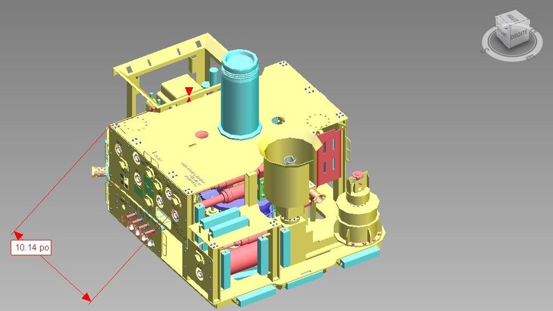
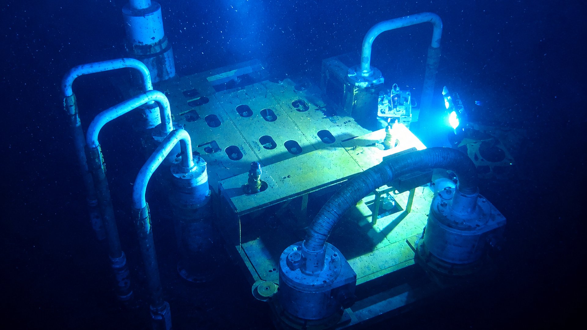
Across several years and multiple scopes, Ocean Space supported one of West Africa's most complex deepwater assets, the Akpo, Usan and Egina fields, serving as founding Technical Authority for Total's TechLog Deepwater Business Unit. Work spanned deepwater acoustic rig positioning, subsea spool metrology oversight, acoustic frequency management, subsea tooling development, and full QA/QC of all operational scopes.

Deepwater Development Advisory

Outcome: Ensured consistent application of Total's referential standards and delivered a unified, high-integrity geoscience framework across drilling, construction, completions and production.

Client: Total (Nigeria)

Moho Nord Bis
Beach-Pull to Deepwater Pipelay · Multi-Year Geomatic Leadership

Moho Nord Bis

Total (Congo)

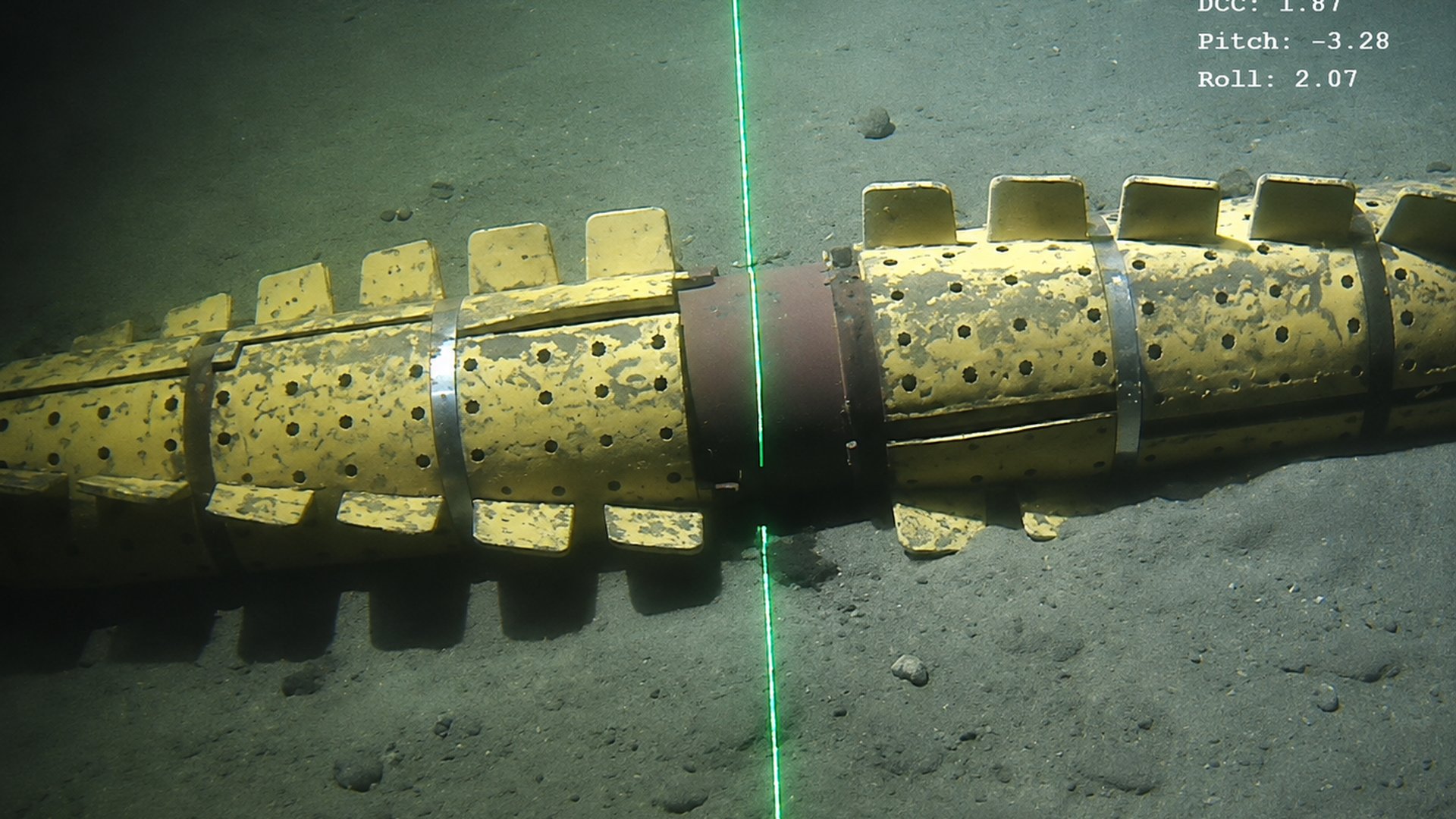
Ocean Space provided Specialist Client Representative on the Moho Nord Bis pipeline development, liaising directly between Company HQ and Contractor management to ensure project requirements were understood and delivered to Company and Contractor policy, code, and industry best practice. The scope spanned geomatic verification and calibration, pipeline Cut-To-Length management, acoustic measurement design, and GIS database management.

Moho Nord Bis

Outcome: Delivered a fully compliant, high-accuracy survey and construction dataset that underpinned safe installation and long-term field integrity.

Client: Total (Congo)

Block 0 Geophysical Sparker Campaign
Project Management · Contract Development

Block 0 Geophysical Sparker Campaign

Sonamet (Angola)

Ocean Space provided independent geomatic project management and technical oversight to SONAMET for a sub-bottom profiling geophysical campaign in Block 0, Angola, reviewing the contractor's technical and commercial bid, assessing methodology against project requirements, and monitoring delivery for compliance and alignment throughout execution.

Block 0 Geophysical Sparker Campaign

Outcome: Supported SONAMET in selecting the right geomatic contractor and ensured the geophysical campaign was delivered to technical standard and project objective, start to finish.

Client: Sonamet (Angola)

Tortue GTA Hub Terminal Development
Client Representation · QA/QC

Tortue GTA Hub Terminal Development

BP (Senegal)

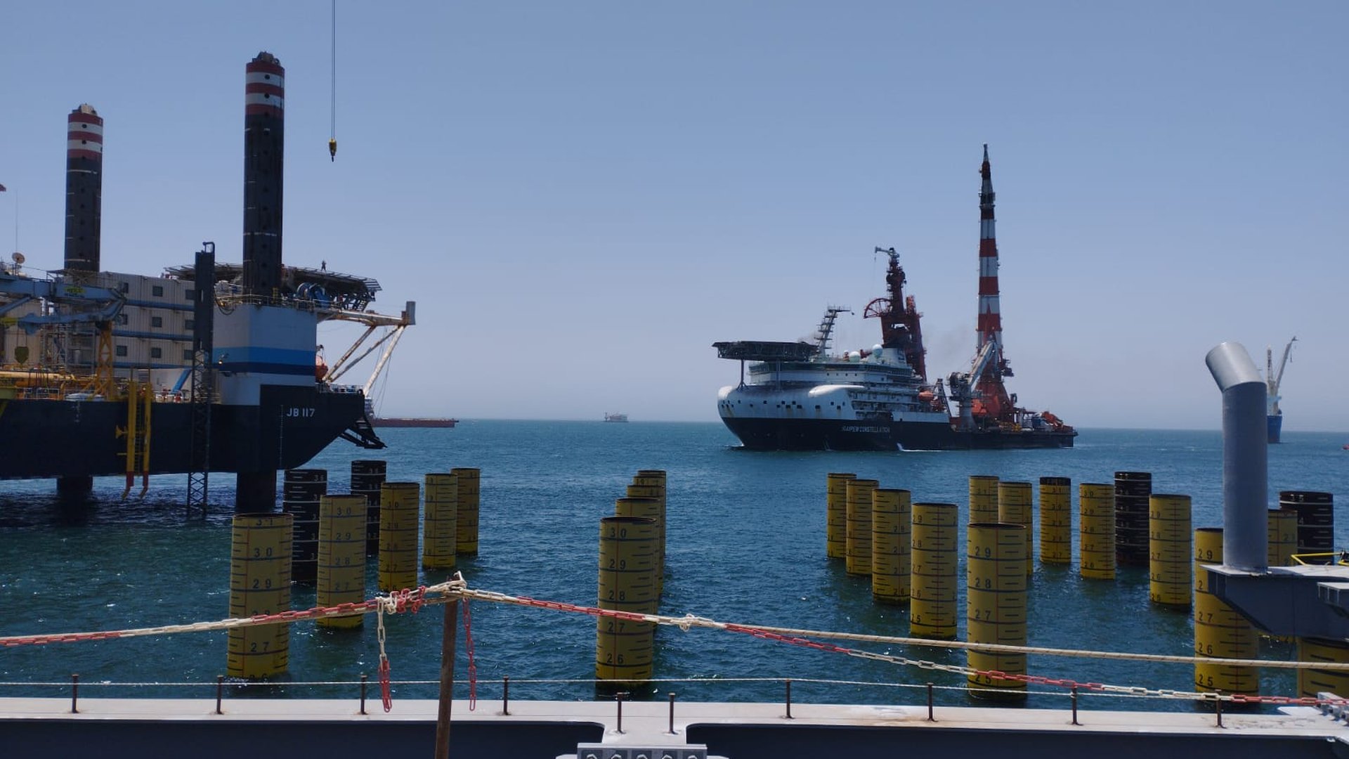
The GTA Hub Terminal project involved a complex network of marine structures supported by piles and interconnected by trestles and walkways. Ocean Space provided geomatics QA/QC representation, overseeing installation positioning and levelling surveys of all structures to establish the structural integrity baseline the terminal now relies on.

Tortue GTA Hub Terminal Development

Outcome: Flawless structural alignment, long-term stability, and operational safety for the Greater Tortue Ahmeyim (GTA) LNG Hub Terminal, the same standard of structural integrity monitoring that underpins its continued operation today.

Client: BP (Senegal)

Deepwater Construction & SLAM Innovation
Team Leadership · SLAM Photogrammetry · LBL & MBES Excellence

Deepwater Construction & SLAM Innovation

DOF Subsea / ExxonMobil (Guyana)

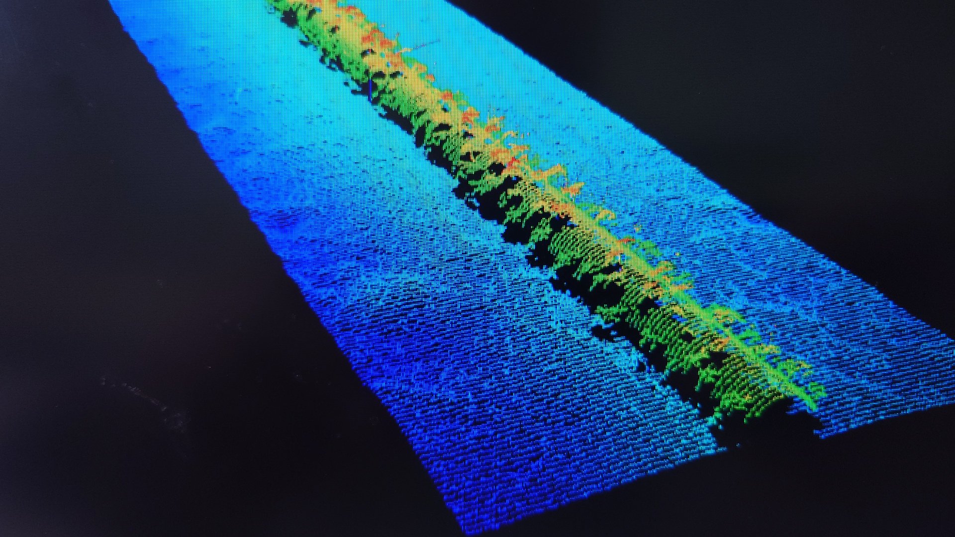
Ocean Space led the geomatic survey team for ExxonMobil's ultra-deepwater Stabroek development. Work included LBL array installation, subsea metrology, ROV-based MBES pipeline surveys, and the testing and validation of a pioneering subsea photogrammetry-based SLAM system.

Deepwater Construction & SLAM Innovation

Outcome: Delivered high-accuracy construction data and advanced SLAM feasibility insights that improved future deepwater survey strategies.

Client: DOF Subsea / ExxonMobil (Guyana)

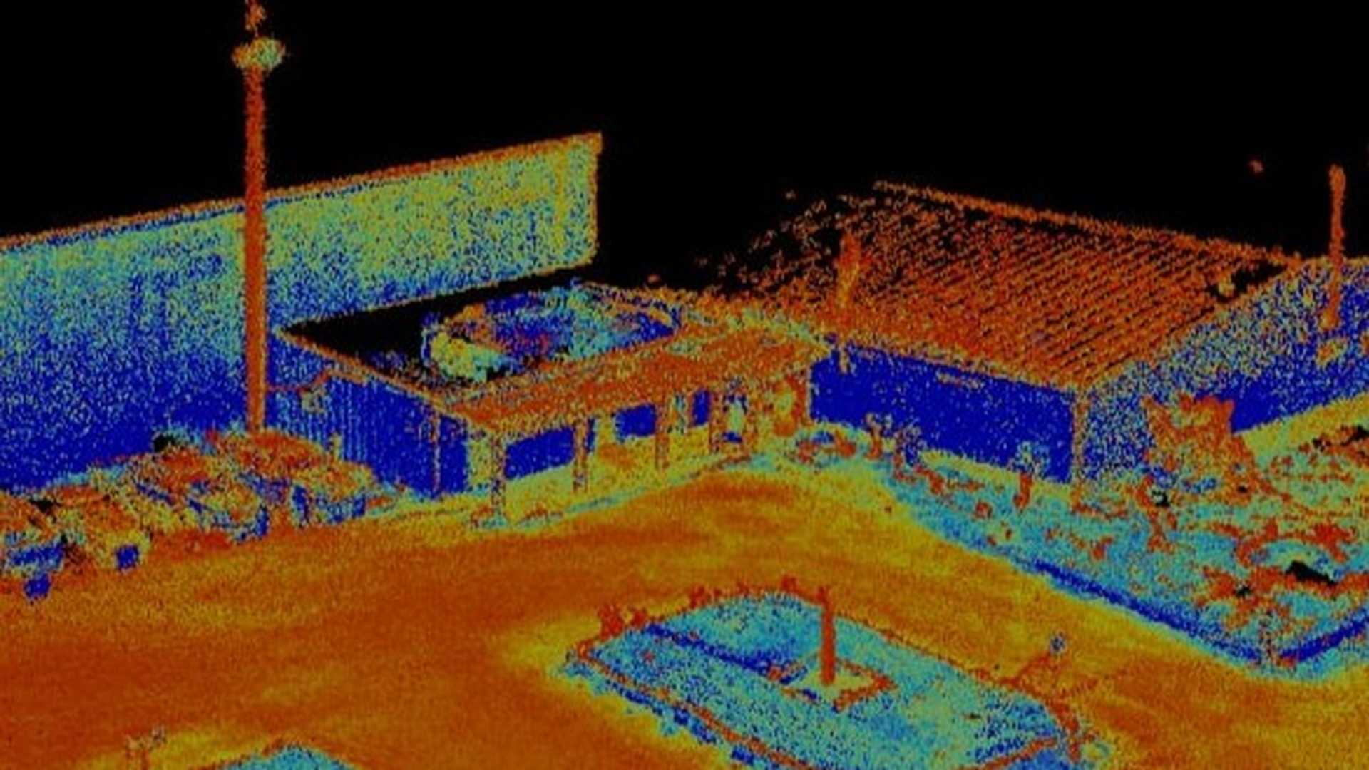
UHD Laser Scanning & As-Built BIM
Terrestrial LiDAR · Static Digital Twin · Millimetre-Level BIM

UHD Laser Scanning & As-Built BIM

Eskom (South Africa)

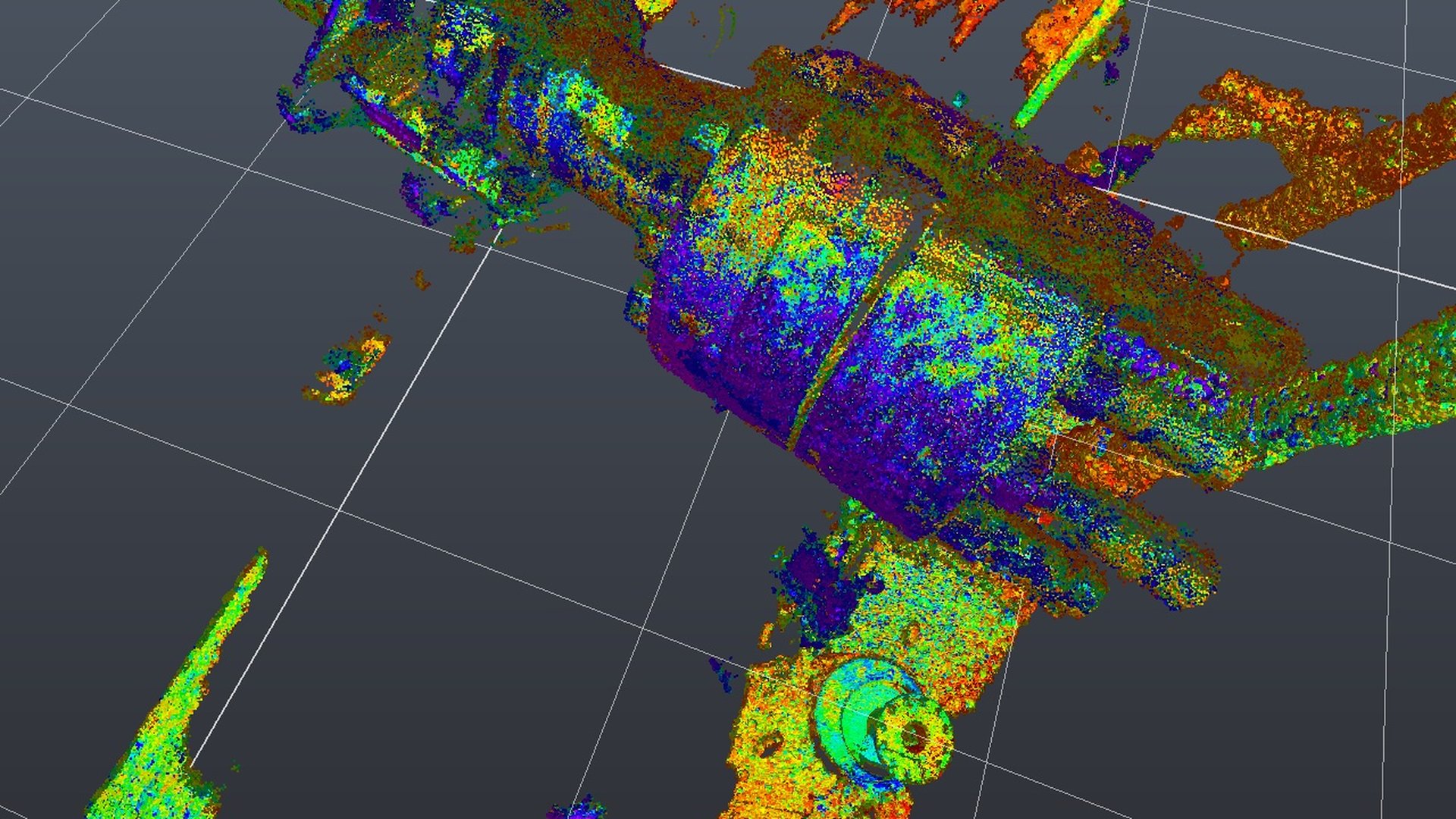
Ocean Space delivered high-definition 3D laser scanning and as-built documentation for Eskom, digitally capturing a building's existing condition, architecture, structural components, and MEP infrastructure. The millimetre-level point cloud was processed and validated into an intelligent 3D BIM model, from which detailed 2D as-built drawings, coordinate files, and Revit BIM deliverables were generated.

UHD Laser Scanning & As-Built BIM

Outcome: Delivered a precise digital twin of the existing building, giving Eskom reliable as-built information for design development, refurbishment, engineering coordination, and future construction planning.

Client: Eskom (South Africa)

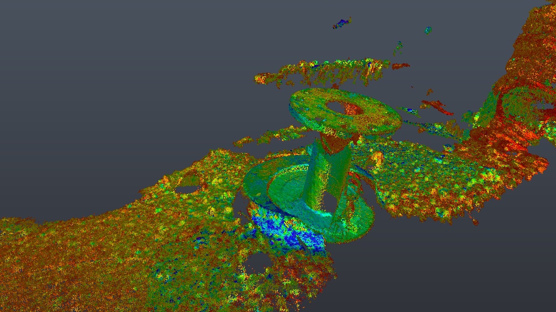
Subsea LIDAR & Point Cloud QA/QC
Remote Validation · LIDAR & Point Cloud Analysis

Subsea LIDAR & Point Cloud QA/QC

Chevron (USA)

Ocean Space delivered remote geomatic analysis and QA/QC for Chevron's Anchor development in the Gulf of Mexico, processing precision subsea LIDAR data, validating point clouds and DTMs, and auditing LBL system outputs as a fully remote desktop engagement.

Subsea LIDAR & Point Cloud QA/QC

Outcome: Delivered a fully validated, high-resolution dataset for critical subsea installation decisions, proof that remote analysis holds to the same standard.

Client: Chevron (USA)

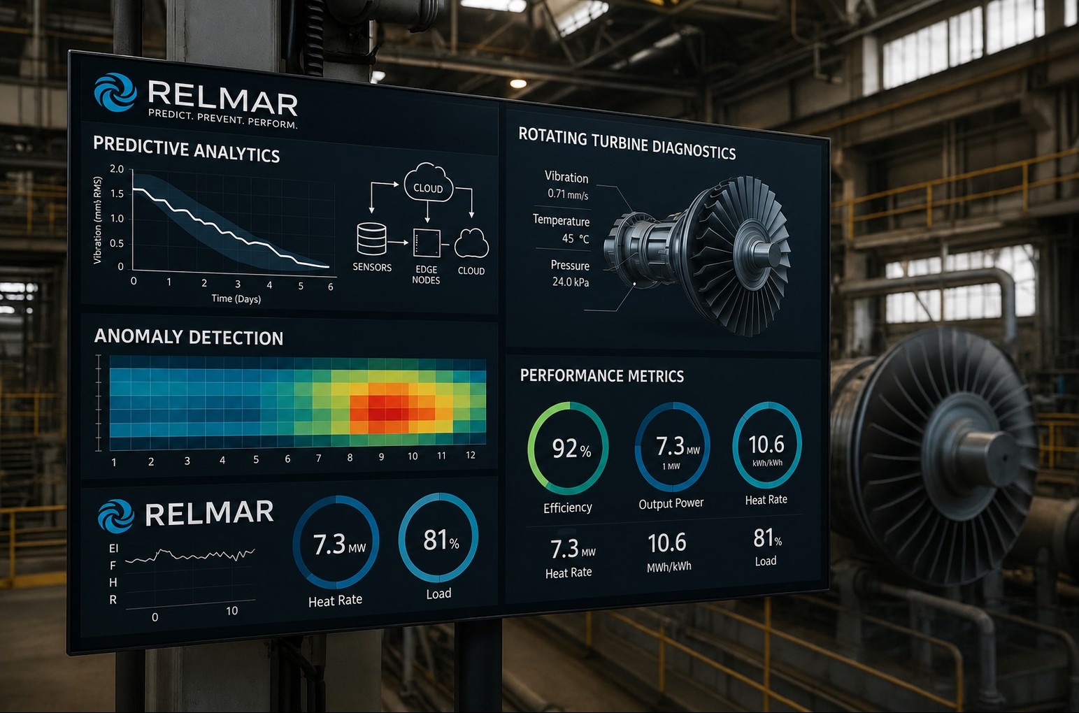
Systems Design Strategic Partner
Remote Business Design · Industry 4.0 Marine Asset Management

Systems Design Strategic Partner

Relmar (UK)

Ocean Space leadership provided remote systems and strategy design to launch a marine asset management start-up built on Industry 4.0 principles, shaping the business model, mapping stakeholders, and driving investor engagement entirely off-site, in parallel with active field commitments.

Systems Design Strategic Partner

Outcome: Raised $1 million in seed funding and positioned the company as a forward-thinking digital marine consultancy.

Client: Relmar (UK)

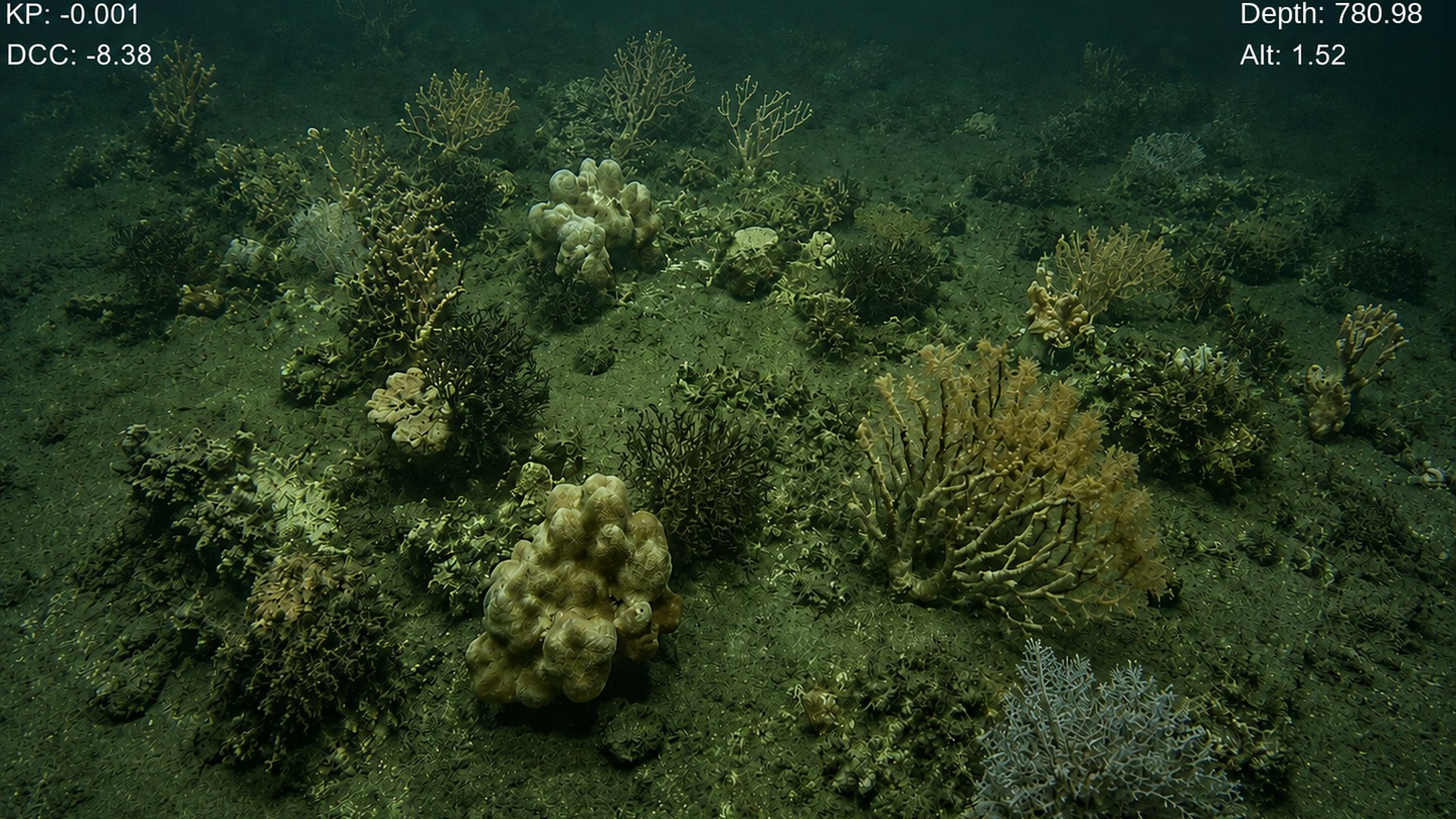
Marine Coral Ecology Monitoring
Environmental Monitoring · Impact Assessment

Marine Coral Ecology Monitoring

BP (Senegal)

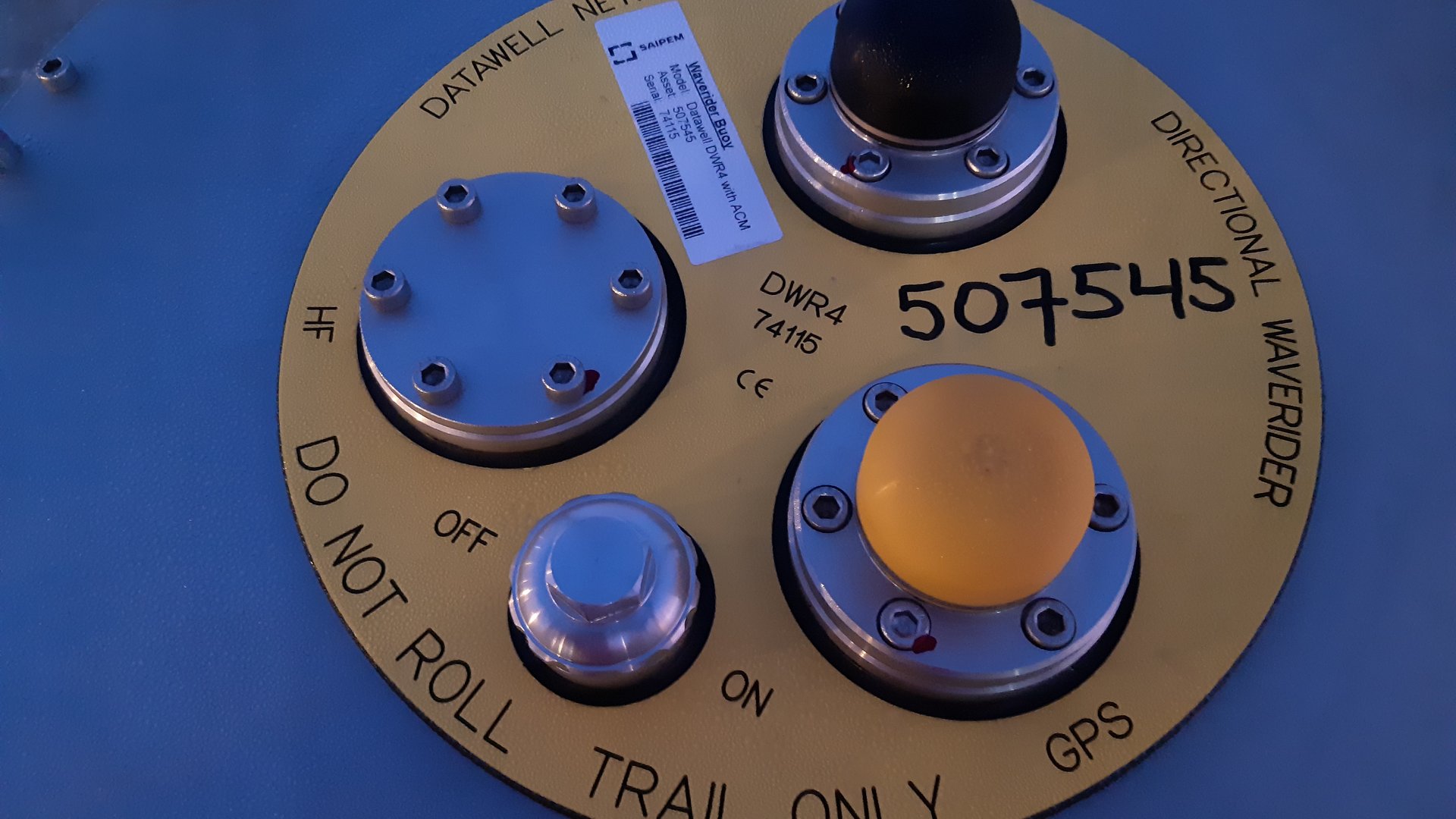
Ocean Space provided environmental monitoring and subsea survey support for BP's Tortue project offshore Senegal, deploying sensors around coral formations 50 metres from trenching activity to capture conditions before, during and after, backed by comparative ROV video surveys of coral condition throughout.

Marine Coral Ecology Monitoring

Outcome: Delivered evidence-based insight into coral impact from nearby construction, supporting regulatory compliance and informed decision-making for future subsea work.

Client: BP (Senegal)

Yunlin Wind Farm Current Monitoring
Oceanographic Intelligence · Remote Data Analysis

Yunlin Wind Farm Current Monitoring

Skyborn Renewables (Taiwan)

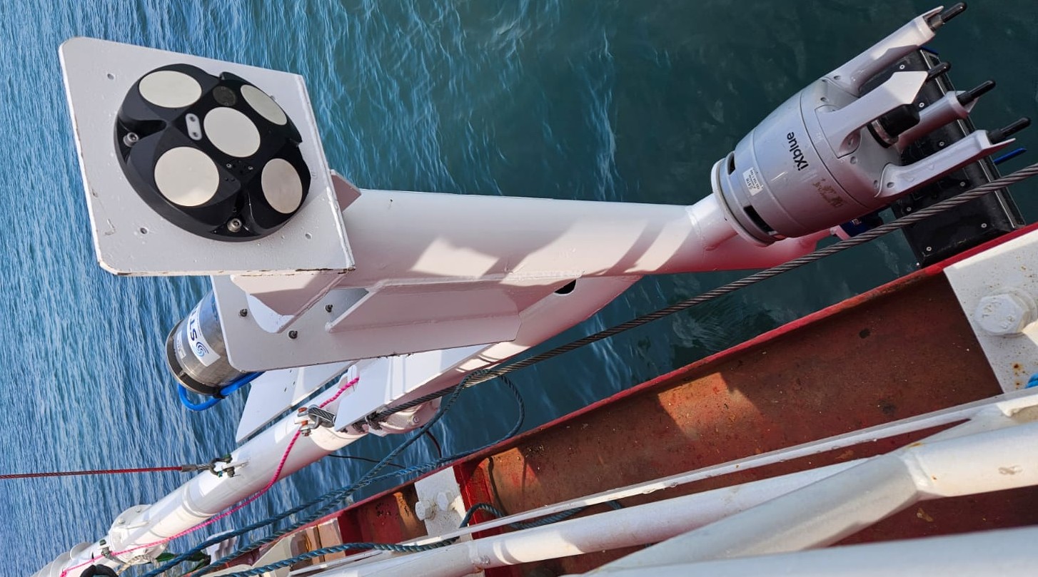
Ocean Space provided subsea current monitoring for the Yunlin offshore wind farm development, deploying a Vessel-Mounted Acoustic Doppler Current Profiler (VM-ADCP) to measure subsurface current speed and direction in real time, characterising the local hydrodynamic environment to support planning and construction.

Yunlin Wind Farm Current Monitoring

Outcome: Delivered reliable real-time current data that informed safe, efficient offshore construction planning for the renewable energy development.

Client: Skyborn Renewables (Taiwan)

Contact Us

Let's Build the
Future, Together

Whether you're planning a geoscience campaign, need technical advisory support, or want to explore a partnership, our team is ready to help.

✉️

Email

contact@oceanspace.africa